

IFAS 2.0
A basic tool for preparing flood forecasting and warning systems
Share
Program info
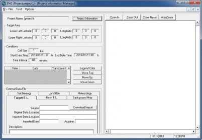
IFAS is a basic tool for preparing flood forecasting and warning systems in insufficiently gauged basins. IFAS provides interfaces to input not only satellite-based but ground-based rainfall data, as well as GIS functions to create river channel network and to estimate parameters of a default runoff analysis engine and interfaces to display output results.
Details
Extensions

No information available
The data will be available later.


Comments